

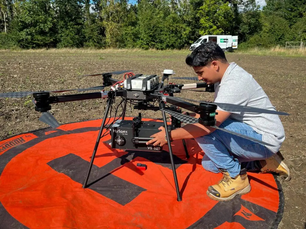
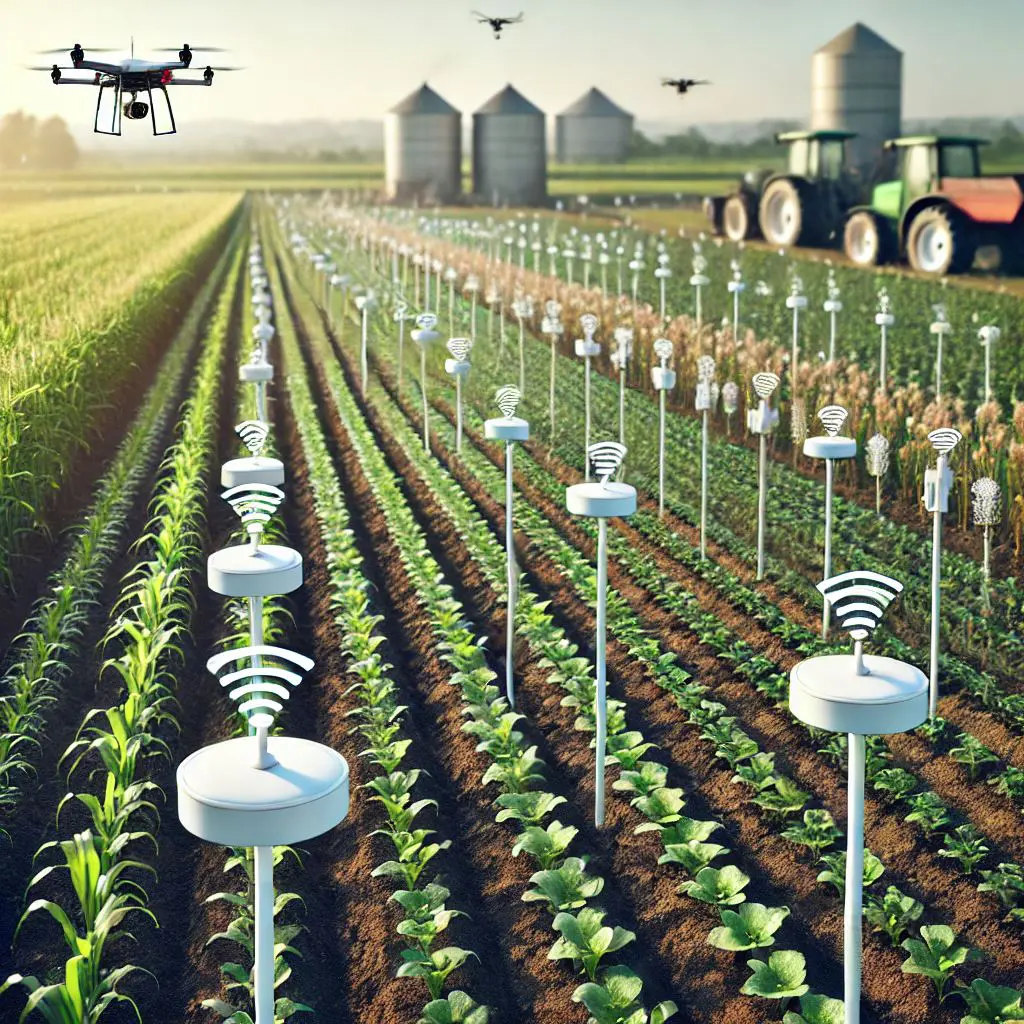
Remote sensing is revolutionising the agricultural industry by providing innovative solutions for monitoring and managing crops. This technology involves collecting and interpreting data from a distance using sensors. By capturing detailed information about the Earth’s surface, remote sensing enables farmers and researchers to make informed decisions that enhance productivity and sustainability.
Applications of Remote Sensing in Agriculture:
Crop Health Monitoring: Remote sensing helps in assessing the health of crops by detecting variations in colour, temperature, and moisture levels. This allows for early identification of stress factors such as diseases, pests, and nutrient deficiencies.
Soil Analysis: By analysing soil properties and moisture content, remote sensing aids in optimising soil management practices. This ensures that crops receive the right nutrients and water, leading to better yields.
Irrigation Management: Remote sensing data can identify areas of a field that require more or less water, enabling precise irrigation management. This not only conserves water but also improves crop health.
Yield Prediction: By monitoring crop growth stages and health, remote sensing can help predict yields more accurately. This information is crucial for planning and resource allocation.
Land Use and Crop Mapping: Remote sensing provides detailed maps of land use and crop types, helping in efficient land management and planning.
Advantages of Remote Sensing:
Non-Invasive: Remote sensing techniques are non-destructive, meaning they do not disturb the crops or soil during data collection.
Real-Time Data: The ability to capture real-time data allows for immediate action to address any issues detected.
High Precision: Remote sensing provides high-resolution data that can pinpoint specific areas needing attention, leading to more efficient resource use.
Challenges:
Cost and Accessibility: High-quality remote sensing equipment and data processing tools can be expensive, which may limit their accessibility for smaller farms.
Data Interpretation: The vast amount of data generated requires advanced processing tools and expertise to interpret accurately.
In conclusion, remote sensing is a powerful tool in modern agriculture, offering detailed insights that enhance crop management and improve productivity. As technology advances, it is expected to become even more integral to sustainable farming practices.
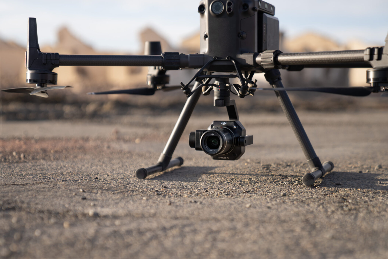
RGB Imaging
RGB cameras capture images using three colour channels—red, green, and blue. These images can be processed to provide valuable information about crop health, soil conditions, and other agricultural parameters.
Applications:
Crop Health Monitoring: RGB images help in assessing the health of crops by detecting variations in colour that may indicate stress, disease, or nutrient deficiencies. Healthy vegetation typically reflects more green light, while stressed plants may show different colour patterns.
Vegetation Indices: Although traditionally derived from multispectral data, vegetation indices like the Normalized Difference Vegetation Index (NDVI) can also be approximated using RGB data combined with AI algorithms. These indices help in identifying healthy and problematic areas within a field.
3D Mapping and Photogrammetry: High-resolution RGB images can be used to create detailed 3D models of fields and crops. This is useful for measuring plant height, canopy volume, and other structural attributes.
Disease and Pest Detection: RGB imagery can assist in early detection of diseases and pests by highlighting unusual colour patterns or changes in plant appearance.
Multispectral
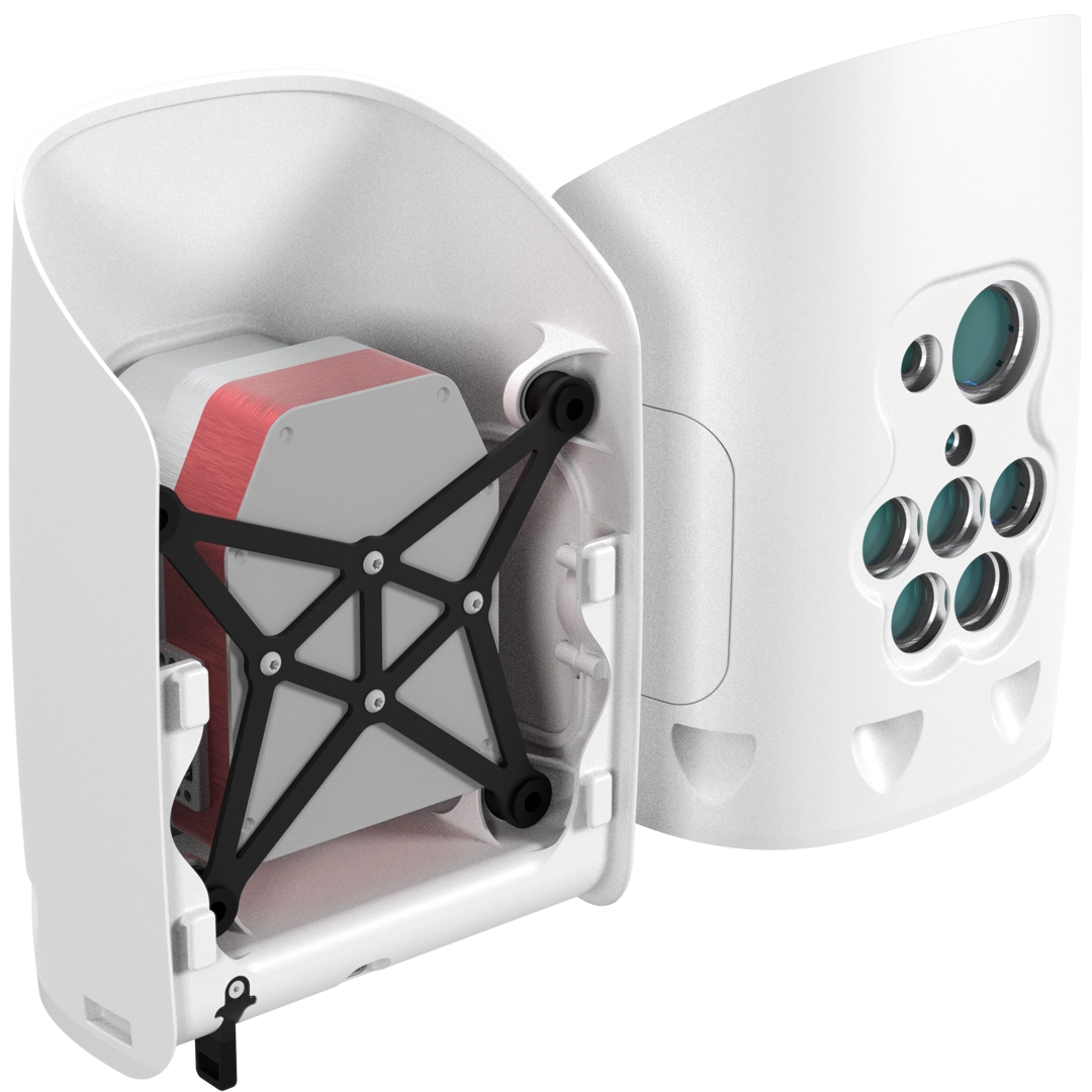
Multispectral imaging is a remote sensing technology that captures images at multiple wavelengths across the electromagnetic spectrum. This technology extends beyond the visible light spectrum to include near-infrared (NIR) and other bands, providing a more comprehensive view of agricultural fields.
Applications:
Crop Health Monitoring: Multispectral imaging can detect subtle changes in plant reflectance that indicate stress, disease, or nutrient deficiencies. This early pre-symptomatic detection allows for timely interventions to improve crop health and yield.
Soil Analysis: By analysing different spectral bands, multispectral imaging can assess soil properties such as moisture content, organic matter, and nutrient levels, helping farmers optimize soil management practices.
Irrigation Management: Multispectral data can identify areas of water stress within a field, enabling precise irrigation management to conserve water and ensure optimal plant growth.
Yield Prediction: By monitoring crop growth stages and health, multispectral imaging can help predict yields more accurately, aiding in better resource allocation and planning.
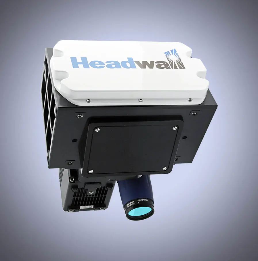
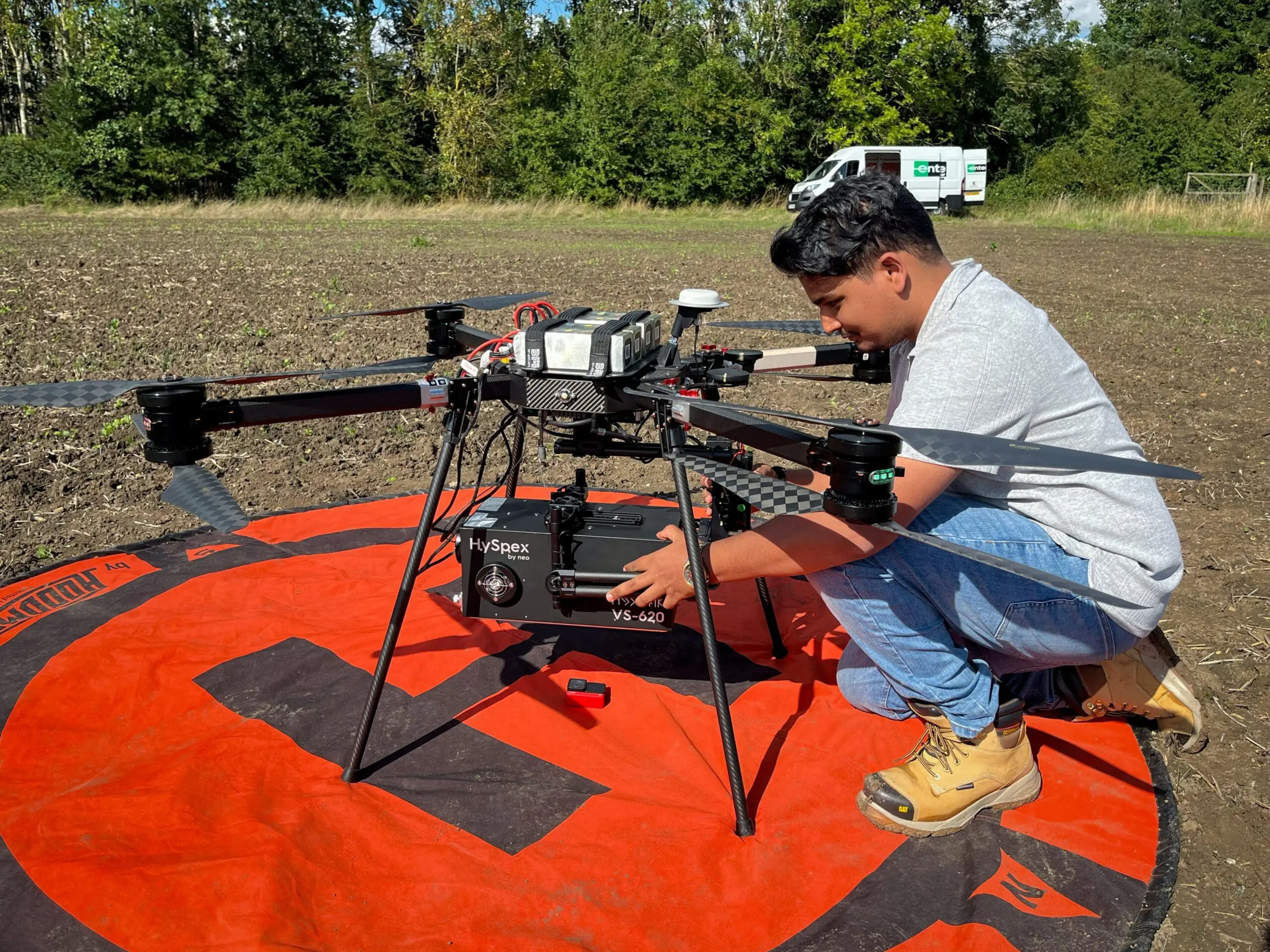
Hyperspectral
Hyperspectral imaging is an advanced remote sensing technology that captures a wide spectrum of light across hundreds or even thousands of narrow bands. This detailed spectral information allows for precise analysis of agricultural fields, providing insights that are not possible with traditional RGB or multispectral imaging.
Applications:
Crop Health Monitoring: Hyperspectral data can detect subtle changes in plant physiology, such as chlorophyll content, water stress, and disease presence. This enables early intervention to address issues before they become severe.
Soil Analysis: By examining specific spectral bands, hyperspectral imaging can assess soil properties, including moisture levels, organic matter content, and nutrient availability. This helps in optimising soil management practices.
Nutrient Management: Hyperspectral sensors can identify nutrient deficiencies in crops by analysing their spectral signatures. This allows for precise application of fertilizers, improving crop health and yield.
Yield Prediction: The detailed data from hyperspectral imaging can be used to model and predict crop yields more accurately, aiding in better planning and resource allocation.
Pest and Disease Detection: Hyperspectral imaging can identify specific spectral signatures associated with pest infestations and diseases, enabling targeted treatments and reducing the need for broad-spectrum pesticides.
Solar-Induced Fluorescence
Solar-Induced Fluorescence (SIF) is a remote sensing technique that measures the faint glow emitted by chlorophyll in plants during photosynthesis. This fluorescence occurs when plants absorb sunlight and re-emit a small portion of the absorbed energy as light, primarily in the red and near-infrared regions of the spectrum.
Applications:
Photosynthetic Activity Monitoring: SIF is a direct indicator of photosynthetic activity, providing real-time insights into plant health and productivity. It helps in assessing the efficiency of photosynthesis and detecting stress conditions in crops.
Crop Growth Stages Identification: SIF data can accurately identify different growth stages of crops, such as the silking stage in corn or the heading stage in wheat. This information is crucial for optimising agricultural practices and improving yield predictions.
Stress Detection: SIF can detect early signs of stress caused by factors such as drought, nutrient deficiencies, or pest infestations. This allows for timely interventions to mitigate potential yield losses.
Gross Primary Production (GPP) Estimation: SIF is closely related to GPP, which is the total amount of carbon dioxide that plants convert into organic matter through photosynthesis. This relationship makes SIF a valuable tool for estimating crop productivity and carbon sequestration.
LiDAR
Solar-Induced Fluorescence (SIF) is a remote sensing technique that measures the faint glow emitted by chlorophyll in plants during photosynthesis. This fluorescence occurs when plants absorb sunlight and re-emit a small portion of the absorbed energy as light, primarily in the red and near-infrared regions of the spectrum.
Applications:
Crop Monitoring: LiDAR can measure plant height, canopy density, and biomass, providing valuable data for monitoring crop health and growth. This helps in identifying areas of stress due to nutrient deficiencies or diseases.
Soil Analysis: LiDAR data can be used to create detailed topographic maps, which help in understanding soil properties and drainage patterns. This information is crucial for effective soil management and erosion control.
Yield Prediction: By analysing the structure and density of crop canopies, LiDAR can help predict crop yields more accurately. This aids in better planning and resource allocation.
Weed and Pest Detection: LiDAR can differentiate between crops and weeds based on their structural characteristics, enabling targeted weed control. It can also help in detecting pest infestations early.
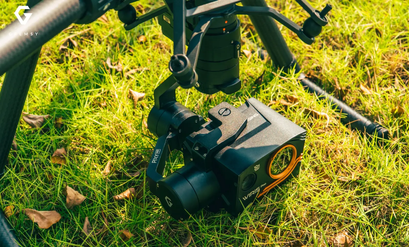
Autonomous Farming: LiDAR is essential for the navigation of autonomous agricultural machinery. It provides real-time 3D mapping, allowing robots and drones to operate safely and efficiently in the field.

Thermal
Thermal imaging is a remote sensing technology that measures the temperature of objects by detecting infrared radiation. In agriculture, thermal data is invaluable for monitoring crop health, managing irrigation, and detecting stress conditions.

Applications:
Irrigation Management: Thermal imaging helps identify areas of a field that are experiencing water stress by detecting temperature variations. This allows for precise irrigation, ensuring that water is used efficiently, and crops receive the right amount of moisture.
Crop Health Monitoring: By measuring the temperature of plant canopies, thermal imaging can detect early signs of stress caused by factors such as drought, nutrient deficiencies, or disease. Healthy plants typically have lower temperatures due to transpiration, while stressed plants show higher temperatures.
Disease and Pest Detection: Thermal data can reveal temperature anomalies in crops that may indicate the presence of diseases or pests. Early detection allows for timely interventions to prevent the spread and minimize damage.
Soil Moisture Assessment: Thermal imaging can differentiate between wet and dry soil, helping farmers manage soil moisture levels more effectively. This is particularly useful during drought conditions or in areas with variable soil moisture.
Yield Prediction: By analysing temperature patterns and correlating them with crop growth stages, thermal data can assist in predicting yields more accurately.
Ground Penetrating Radar (GPR)
Ground Penetrating Radar (GPR) is a non-invasive geophysical method that uses radar pulses to image the subsurface. In agriculture, GPR is a valuable tool for mapping soil properties, detecting subsurface features, and monitoring soil moisture.
Applications:
Soil Moisture Mapping: GPR can measure soil water content by detecting the dielectric properties of the soil. This helps in managing irrigation more efficiently and ensuring optimal water use.
Soil Structure Analysis: GPR can create detailed images of soil layers, helping to identify soil horizons, compaction zones, and other structural features. This information is crucial for soil management and improving crop growth conditions.
Root Zone Mapping: By imaging the root zone, GPR can help in understanding root distribution and health, which is essential for optimising nutrient and water uptake by crops.
Detection of Subsurface Anomalies: GPR can detect buried objects, such as rocks, pipes, or old root systems, which can affect soil health and crop growth. Identifying these anomalies helps in planning field operations and avoiding damage to equipment.
Monitoring Soil Salinity: GPR can be used to monitor soil salinity levels, which is important for managing soil health and preventing crop damage due to high salinity.


